
Beyond Imagery: Purifying Junction Detection via Trilateral GPS Data Transformation
Automating road junction identification using Crowdsourcing and Machine Learning on GPS transformed data
This paper introduces a novel approach for automated road junction identification by applying machine learning to transformed GPS trace data collected via crowdsourcing. By bypassing traditional image-based methods, the authors achieve high accuracy in junction detection using low-cost terrestrial data that natively captures road attributes like flow direction.
TL;DR
Researchers at the Cyprus University of Technology have developed a system that identifies road junctions using nothing but the "digital exhaust" of our cars—GPS traces. By transforming simple location and velocity data into movement deltas and feeding them into Machine Learning models, they've created a method that bypasses the occlusions of satellite imagery and the high costs of specialized survey vehicles.
Background Positioning
In the hierarchy of map-making, identifying junctions is the "North Star" task. While the industry has historically leaned on computer vision (CV) and aerial photography, this paper represents a shift toward behavioral geometry—the idea that the way vehicles move is the most accurate reflection of the road's physical structure.
Problem & Motivation: The "Blind Spot" of Aerial Maps
Standard electronic maps suffer from a "data lag" and visual limitations. Static images from satellites cannot tell you if a road is one-way, what the speed limit is, or if a dense tree canopy is hiding a complex T-junction.
The authors argue that the best way to understand a road is to drive it. By utilizing crowdsourced terrestrial data, they capture the actual behavior of drivers, which implicitly contains information about traffic flow and intersection boundaries that cameras often miss.
Methodology: Transforming Points into Patterns
The core innovation lies in the Transformation. Raw GPS points (Latitude, Longitude, Velocity, Bearing) are insufficient for ML because a single point doesn't "know" it's at a junction.
- Data Collection: Using a custom Android app, they collected over 16,000 trace points.
- The Insight: The authors found that comparing consecutive points () was ineffective because the change was too small. Instead, they compared point with . This "wider window" captures the deceleration and bearing shift characteristic of a turning or intersecting maneuver.
System Architecture and GPS Representation
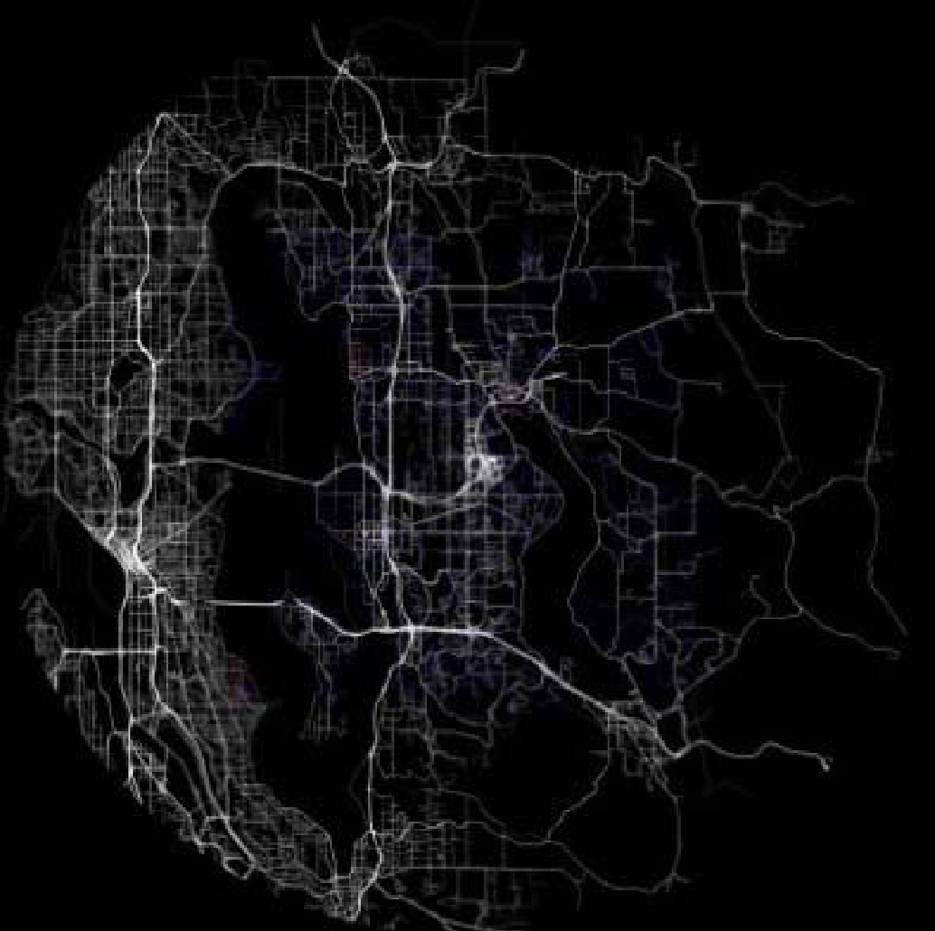 Fig 1: Contrast between traditional image-based traces (top) and the ML-ready transformed data (bottom).
The feature set used for classification included:
- : Distance change.
- : Velocity change (deceleration/acceleration).
- : Bearing change (turning angle).
Experiments & Results: Precision where it counts
The researchers tested three classifiers: K-Nearest Neighbors (KNN), Decision Trees (J48), and Neural Networks (Multilayer Perceptron).
- The Winner: Decision Trees showed the most robust performance with an accuracy of 98.66%.
- Recall Analysis: While the "Recall" for junctions was lower (~53%), further visual analysis revealed that this was largely due to inconsistent human annotation (noise in the ground truth) rather than model failure.
Visual Verification
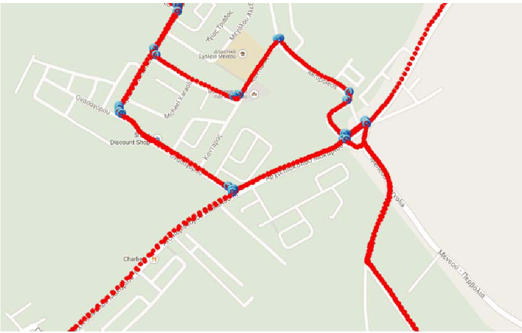 Fig 2: The purple clusters accurately identify the "hotspots" of movement change—effectively mapping the junction boundaries without any visual input.
Crucially, the model produced zero False Positives in the testing traces—meaning it never hallucinated a junction where one didn't exist. For autonomous navigation, missing a junction is an inconvenience, but imagining one is a safety hazard.
Critical Analysis & Conclusion
Takeaway
This paper proves that expensive LiDAR and high-res satellite feeds aren't the only way to build HD maps. Crowdsourced GPS data, when processed through the right spatial-temporal transformations, is a highly reliable source for road topology.
Limitations
- Annotation Ambiguity: Identifying the exact "start" and "end" of a junction remains subjective for human annotators, which hampers ML training.
- Data Density: The system requires multiple passes over a junction by different drivers to achieve high confidence.
Future Outlook
The authors suggest moving toward Graph Databases (like Neo4j) to represent these junctions. By treating GPS traces as directional edges in a graph, future systems could automatically detect one-way streets and illegal turns alongside simple junction identification.