
TiMatOnGIS: Revolutionizing Territorial Marketing via Crowdsourcing and Cloud-GIS
Crowd-Cloud Tourism, New Approaches to Territorial Marketing
The paper introduces TiMatOnGIS, an innovative territorial marketing framework for the city of Matera, Italy. It leverages Volunteered Geographic Information (VGI) and Cloud-GIS services to create a collaborative "mini-portal" that integrates crowdsourced data with existing web resources for tourism development.
TL;DR
This paper presents TiMatOnGIS, a strategic approach to tourism in Matera, Italy, that bypasses traditional, slow-moving bureaucratic mapping. By leveraging Neogeography and Cloud-GIS, the authors demonstrate how a "bottom-up" collection of geographic data—powered by volunteers and mashed up with social media—creates a more agile and useful tourist information ecosystem than official national portals.
Contextual Positioning
In the landscape of territorial marketing, there is a massive gap between what agencies provide (paper guides) and what tourists want (real-time mobile data). The authors position this work as a shift from Spatial Data Infrastructures (SDI), which are often bogged down by bureaucracy (like the INSPIRE Directive), toward Cloud-based Neo-Geography, where the agility of the "Crowd" replaces the inertia of the "Institution."
The Problem: The "Static Information" Trap
Why do tourism agencies spend a fortune on printed brochures while Wikipedia remains incomplete and Google Maps lacks local cultural depth? The authors identify several pain points:
- Inefficiency of Official Portals: Many national tourism sites are either unfinished or overly complex.
- The Paper-Digital Divide: A surge in mobile usage is met with a lack of digital spatial data.
- High Maintenance Costs: Local authorities struggle to afford the servers and expertise required for professional-grade GIS.
Methodology: The Five-Phase Building Knowledge Process
Instead of viewing knowledge as a static product, the authors treat it as an incremental, cyclical process.
1. The 5 Ws of TiMatOnGIS
The project is structured around a clear communicative framework:
- What: A package of Web 2.0 and Cloud-computing tools.
- Who: A collaborative effort between the University of Basilicata researchers and "world citizens" (tourists and operators).
- Where/When: Ubiquitous access via the cloud—a "virtual information point" that never closes.
- Why: Driven by the belief that spatial data should be open and collaborative.
2. The Cloud-GIS Architecture
The core technical innovation lies in the Google Mash-up. By using GisCloud, the team didn't need to build a backend from scratch. They integrated:
- Base layers: Google Maps and National Geoportal data.
- Volunteered Layers: Points of Interest (POIs) mapped by students.
- Hyper-links: Deep integration with Wikipedia for history, Flickr for visuals, and YouTube for cinematic context.
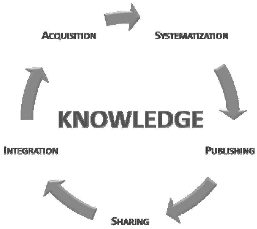 Figure 1: The iterative cycle of acquisition, systematization, publication, integration, and sharing.
Experiments and Results: Mapping Matera’s Unique Identity
Matera is a unique UNESCO site, often used as a film set. The project prioritized "atypical" data that general maps often miss:
- Movie Locations: Specifically tracking where films like The Passion of the Christ or King David were shot.
- Modern Architecture: Including contemporary sites ignored by traditional historical guides.
- Multimodal Integration: Linking public transport routes with café and hotel locations.
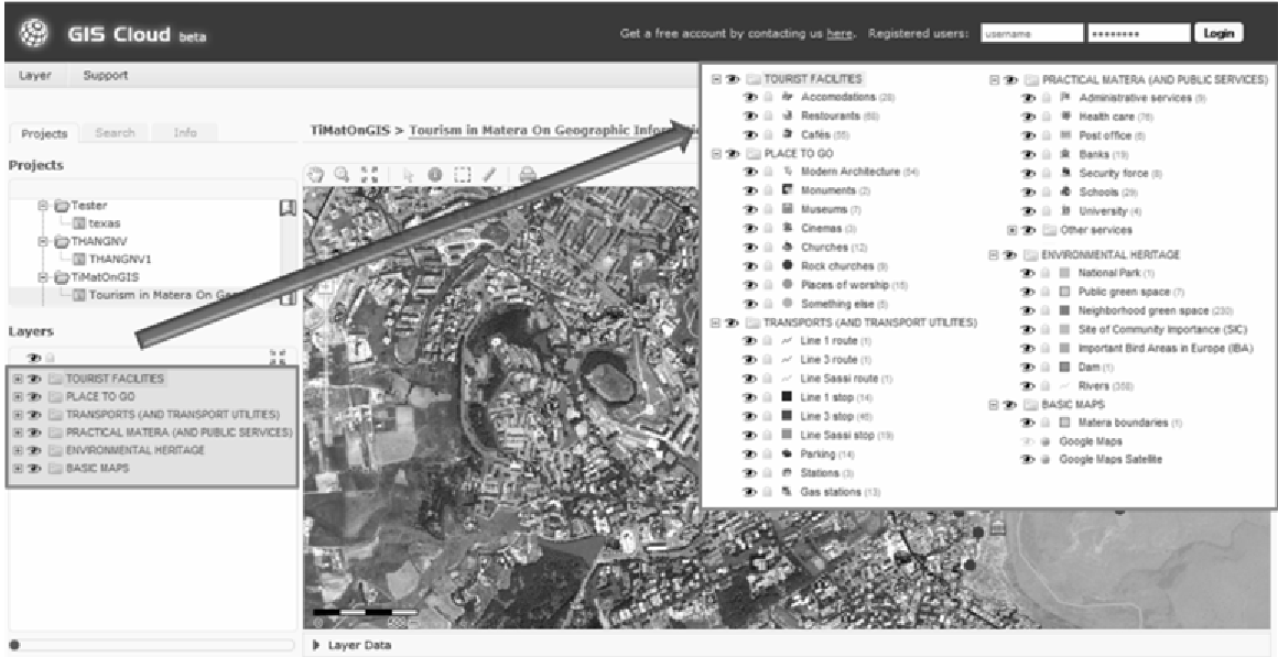 Figure 2: Categorization of mapped tourist facilities and interest points.
The result is a High-Utility Mini-Portal. By using a blog (WordPress) as the interaction layer, the team achieved "Two-way Participation," allowing users to correct data and suggest new POIs, effectively keeping the dataset "alive."
Critical Insight & Conclusion
The true value of TiMatOnGIS is not just the map itself, but the Resource Optimization model it provides.
- Lowering the Barrier: You don't need a PhD in Cartography to contribute to Google Earth or GisCloud. This "democratization of GIS" allows for massive data scaling.
- Infrastructure Savings: Shifting to the Cloud removes the need for expensive local servers.
- The "Enabler" Model: The authors argue that the future of public administration (Gov 2.0) is not just providing services, but creating the platforms where citizens can provide services for each other.
Limitations: While the project successfully builds a dataset, maintaining long-term volunteer motivation (beyond the initial "pilot" phase) remains a common challenge for crowdsourced initiatives. Future work should explore gamification or more formal integration into Matera’s official administrative workflows as it seeks the "European Capital of Culture" status.