
LocalRec 2020: Bridging the Gap Between Geospatial Data and Human Intent
The Fourth ACM SIGSPATIAL Workshop on Location-Based Recommendations, Geosocial Networks and Geoadvertising
This report summarizes the LocalRec 2020 workshop at ACM SIGSPATIAL, focusing on innovations in Location-based Recommendations, Geosocial Networks, and Geoadvertising. Key contributions include the application of Reinforcement Learning for tourism POIs and the integration of hyperbolic embeddings and hierarchical clustering for modeling urban spatial heterogeneity.
TL;DR
The Fourth ACM SIGSPATIAL Workshop on Location-based Recommendations (LocalRec 2020) highlights a significant pivot in the field: moving from simple "location tracking" to "location intelligence." By integrating Reinforcement Learning (RL), advanced spatial embeddings like hyperbolic geometry, and ethical considerations regarding COVID-19 mobility patterns, the workshop defines the next frontier of geoadvertising and personalized recommendations.
Problem & Motivation: The Static Nature of Current Geodata
Despite the explosion of geo-referenced data from smartphones and GPS, the industry faces two primary bottlenecks:
- Heterogeneity vs. Homogeneity: Standard models like Place2Vec often treat different urban regions with a "one-size-fits-all" approach, failing to capture the unique density and character of specific neighborhoods.
- Utility Misalignment: Most recommenders optimize for "choices" (what a user clicks) rather than "experienced utility" (what a user actually enjoys). In tourism, this leads to superficial recommendations that fail to capture the complex preferences of travelers.
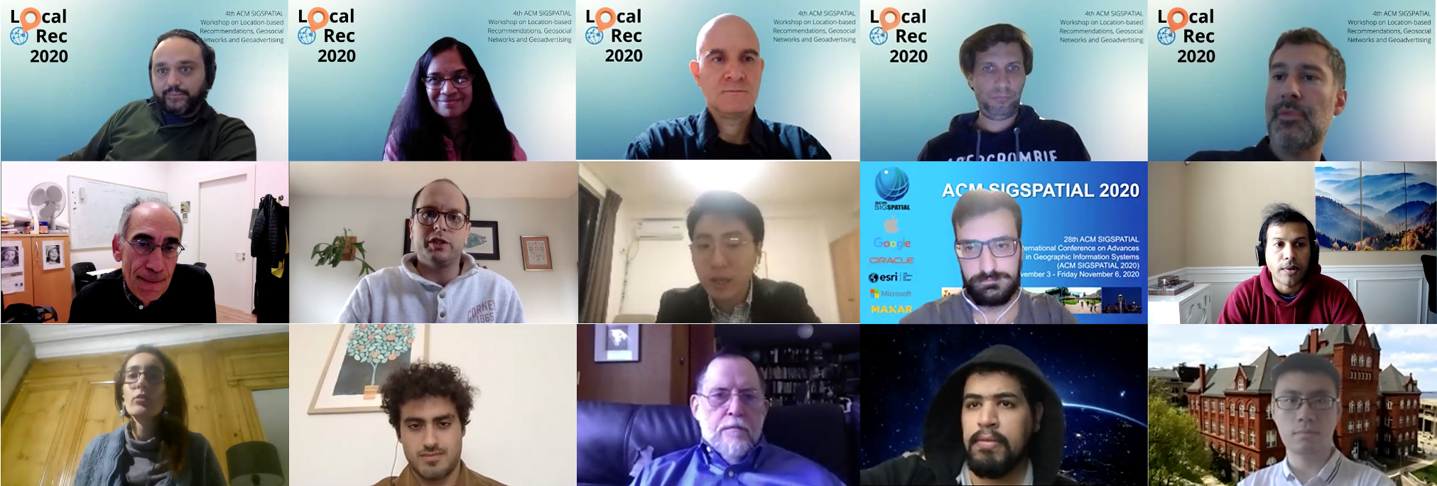 Figure 1: Traditional spatial models are being replaced by collaborative, virtual-first methodologies (Workshop participants collage).
Methodology: From NLP to Neuro-Symbolic Geolocation
The workshop presented several breakthroughs in how we represent space and movement:
1. Spatial Embeddings and Urban Scale
Borrowing from NLP, researchers introduced hierarchical, density-based clustering to address Spatial Heterogeneity. By evolving the Place2Vec concept into multi-scale representations, models can now "understand" the difference between a dense city center and a sparse suburb within the same latent space.
2. Hyperbolic Geometry for Ontologies
Standard Euclidean embeddings struggle with the hierarchical nature of geographical data (e.g., Street < District < City). The workshop highlighted Hyperbolic Embeddings as a superior way to tune parameters in geographical ontologies, offering a more natural "tree-like" growth for spatial knowledge graphs.
3. Reinforcement Learning for Experienced Utility
A key keynote by Francesco Ricci proposed a shift to RL. Instead of predicting the next POI based on historical logs, the system treats the recommendation as a sequential decision process aimed at maximizing long-term user satisfaction (Experienced Utility).
Experiments & Results: Real-World Impact
The workshop wasn't purely theoretical; it showcased how location data serves the "Data For Good" movement:
- COVID-19 Response: Using Cuebiq data, researchers identified mobility patterns that informed CDC guidelines. A striking result showed that mobility was tied to income—higher-income neighborhoods showed significantly higher work-from-home rates, while lower-income areas remained mobile, highlighting social disparities.
- Sub-trajectory Clustering: For map construction, new algorithms demonstrated the ability to reconstruct travel networks from messy trajectory records, outperforming previous SOTA methods through better handling of overlapping paths.
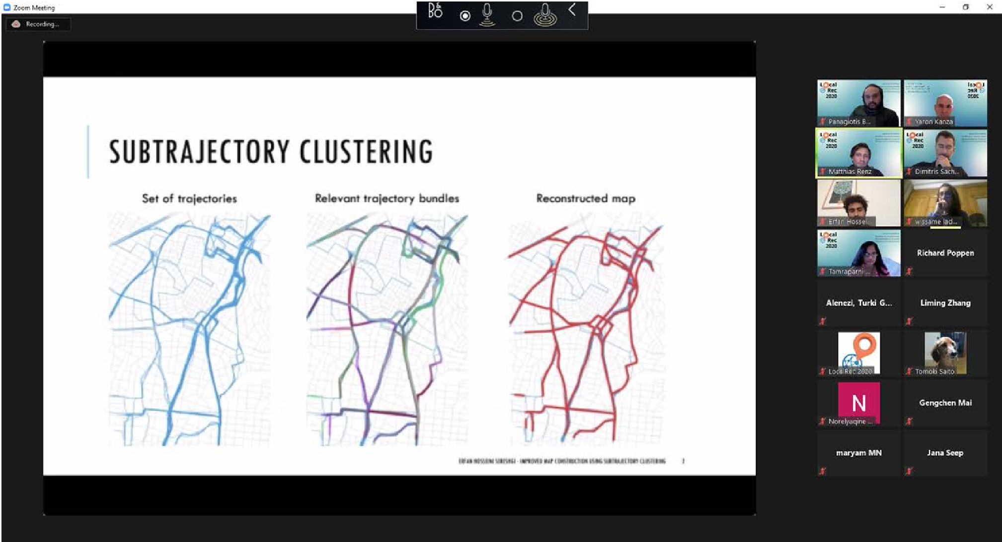 Figure 2: Discussion of location-based event detection and activity characterization.
Critical Analysis & Conclusion
The core takeaway from LocalRec 2020 is that location is context, not just coordinates. The transition from "spatial" to "platial" networks requires us to model human behavior, activity characterization, and ethics simultaneously.
Limitations & Future Work
- Privacy: While the workshop touched on anonymized SDK data, the "re-identification" risk in trajectory data remains a significant hurdle for public trust.
- Fairness: As seen in the COVID-19 data, location intelligence can reveal uncomfortable social truths. Future work must ensure that geoadvertising doesn't become a tool for digital redlining.
In summary, LocalRec 2020 proves that the future of location-based services lies in the marriage of Reinforcement Learning for personalization and Advanced Embeddings for a deeper, multi-scale understanding of our physical world.