
Beyond the Average: How Millimeter-Scale UAS Imagery Reinvents Precision Agriculture
Remote Sensing With Simulated Unmanned Aircraft Imagery for Precision Agriculture Applications
This study investigates the use of simulated Unmanned Aircraft Systems (UAS) imagery for precision agriculture, specifically for winter cover crop monitoring. It compares the efficacy of meter-scale plot averages against millimeter-scale "pure leaf" pixel analysis using indices like GNDVI and TGI, finding that high-resolution sampling significantly improves the estimation of biomass and nitrogen status.
TL;DR
A shift from "average plot" metrics to "individual leaf" analysis is essential for high-precision farming. This study demonstrates that by isolating pure leaf pixels from high-resolution UAS imagery (1mm/pixel), researchers can achieve significantly higher accuracy in measuring biomass and chlorophyll compared to standard meter-scale remote sensing.
Background: The Resolution Trap
In precision agriculture, the goal is to apply resources like nitrogen exactly where they are needed. Historically, satellite imagery was the "go-to" tool, but it faces the Mixed Pixel Problem. At a meter-scale resolution, a single pixel contains a blend of green leaves, brown soil, and dark shadows. This "pixel soup" makes it incredibly difficult to tell if a low greenness value is due to low plant density (biomass) or actual nutrient deficiency (chlorophyll).
The advent of Unmanned Aircraft Systems (UAS) promised a solution through higher resolution. However, most current workflows simply treat UAS data as "high-res satellite data," using the same averaging techniques. This paper argues we are missing the point of UAS capabilities.
The Core Insight: Pure Pixels vs. Mixed Averages
The authors' hypothesis is simple but powerful: If we fly low enough to see individual leaves (millimeter-scale), we can ignore the soil and shadows entirely. By sampling only "pure leaf" pixels, we can extract physiological signals (like nitrogen status) that are otherwise masked by the soil background.
Methodology
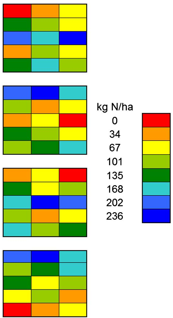
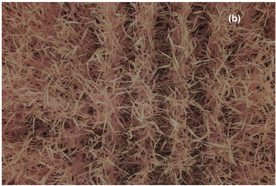
The researchers simulated UAS flight using a Fuji IS-Pro UVIR camera mounted on a 3-meter pole over cereal rye plots.
- Sensors: They used filters to simulate both True-Color (RGB) and Color-Infrared (NIR-G-B) imagery.
- Technique: Instead of averaging the whole image, they used the SamplePoint program to identify 100 specific points per image, classifying them as leaf, soil, or shadow.
Results: The Power of Detail
The results revealed a stark contrast between scales:
- Biomass Estimation: Using pixel-level sampling to count the number of "rye pixels" outperformed the standard Green Normalized Difference Vegetation Index (GNDVI) for biomass prediction ( vs ).
- Chlorophyll Content: This was the most striking finding. The Triangular Greenness Index (TGI) at the plot scale had zero correlation with leaf chlorophyll. However, when calculated using only "pure leaf" pixels, it showed a strong negative correlation ().
The graph above illustrates that knowing the "fractional cover" (the literal percentage of green in the image) is a more robust predictor of biomass than traditional spectral averages in early growth stages.
Critical Insight: Efficiency over Orthomosaics
One of the most provocative suggestions in the paper concerns data processing. Traditionally, UAS pilots spend hours creating "orthomosaics"—stitching hundreds of photos into one giant map.
The authors suggest this might be unnecessary. Since soil and topography (which dictate nitrogen needs) change over 5–20 meter scales, we don't need a millimeter-perfect map of a whole field. Instead, we can treat each high-resolution photo as a single data point along a transect. This "sampling" approach provides the high-fidelity physiological data needed for management without the massive computational overhead of georeferencing.
Conclusion and Future Outlook
The study concludes that "down-scaling" satellite methodologies is a dead end for UAS. To truly unlock the value of low-altitude flight, we need:
- Computer Vision: Algorithms that can automatically identify and segment leaf pixels from background noise.
- New Indices: A shift toward visible-band indices (like TGI) that, when applied to pure pixels, provide cheaper alternatives to expensive infrared sensors.
While the human-in-the-loop sampling (SamplePoint) used here isn't scalable for industrial farms, it sets the performance benchmark for the next generation of AI-driven agricultural drones.
Limitations
- The study relied on simulated UAS imagery (pole-mounted); real-world flight brings challenges like motion blur and varying sun angles.
- The manual classification of pixels is labor-intensive and requires automation to be commercially viable.