
Urban Pilot: Beyond Maps — Architecting the City through Human Experience
Urban Pilot A Handheld City Guide That Maps Personal and Collective Experiences through Social Networks
The paper introduces Urban Pilot, a conceptual handheld city guide that utilizes GPS and wireless networks to move beyond static maps. It proposes a dynamic navigation system that synthesizes individual user profiles with collective social experiences to map "hidden" urban patterns in real-time.
TL;DR
Urban Pilot is a visionary framework for a handheld city guide that rejects the notion of the city as a static set of coordinates. Developed at MIT, it utilizes GPS and P2P networking to create a "regenerative information system." By layering personal memoirs over core cartographic data, it transforms navigation into a dynamic dialogue between the individual and the collective urban memory.
Problem & Motivation: The Static Map vs. The Volatile City
Traditional navigation tools—whether paper guides or early digital directories—treat the city as a finished product. However, the author argues that the city is actually a regenerative phenomenon: a volatile mix of ever-changing people and shifting patterns.
Existing digital guides often lead to "information anxiety," where users are overwhelmed by irrelevant data that lacks context. The motivation behind Urban Pilot is to use mobile technology not just to show "where" a user is, but to reveal the "hidden patterns" of experience that define a place's true character.
Methodology: The Three-Tier Architecture
The core innovation of Urban Pilot lies in its structured approach to information handling, moving from high-level personalization down to community-driven data generation.
1. Filtering: The Urban Lens
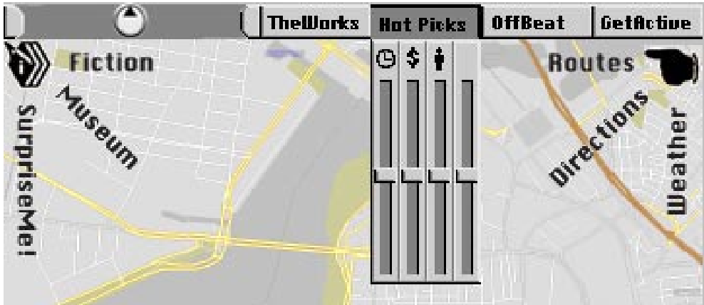
Rather than a one-size-fits-all map, the system uses Pre-Screen, Temporal, and Collaborative filters. Users select an "Urban Lens" (e.g., Off-Beat for unique finds or Get-Active for adventure) to match their current psychological context. Sliders for "Sociability" and "Time" further refine the experience.
2. Layering: Degrees of Volatility
Information is organized by how fast it changes:
- Core: Permanent but updated history and topography.
- Services: Real-time server data (traffic, weather).
- Notes-to-Myself: Private travelogues and annotations.
- Notes-to-Share: The most volatile layer, consisting of reflections and anecdotes from the community.
 The "Information Wheel" concept representing the different layers of data volatility.
3. Networking: The Regenerative Cycle
Using P2P logic, individual notes can be shared with the community. A Trust Filter (Rating Slider) allows information to graduate from "Personal" to "Reputable." Once data reaches high reputability, it is integrated back into the "Core" information system, creating a self-sustaining ecological loop.
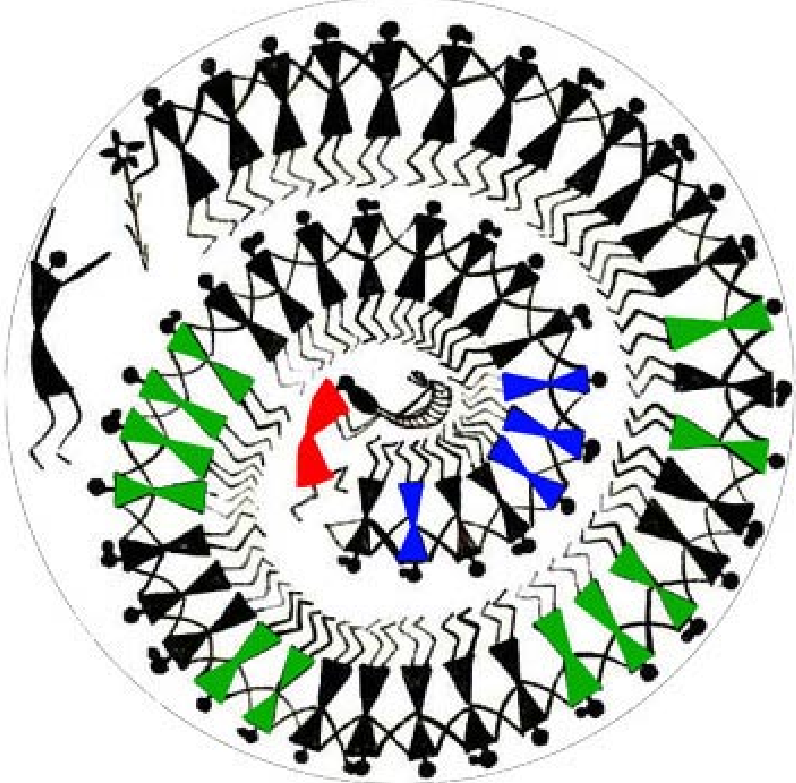 The collective memory cycle transforming personal experience into reputable urban data.
Experiments & Results: Navigating Boston
The paper validates the design through two primary scenarios:
- The Historian & The Traveler: Shows how a historian's shared "Anecdotes" in Beacon Hill help a casual visitor find child-friendly events and hidden historical contexts.
- The Social Student: Demonstrates real-time P2P interaction at Fenway Stadium, where users update each other on dynamic events (like venue changes) and share "Cognitive Image Maps."
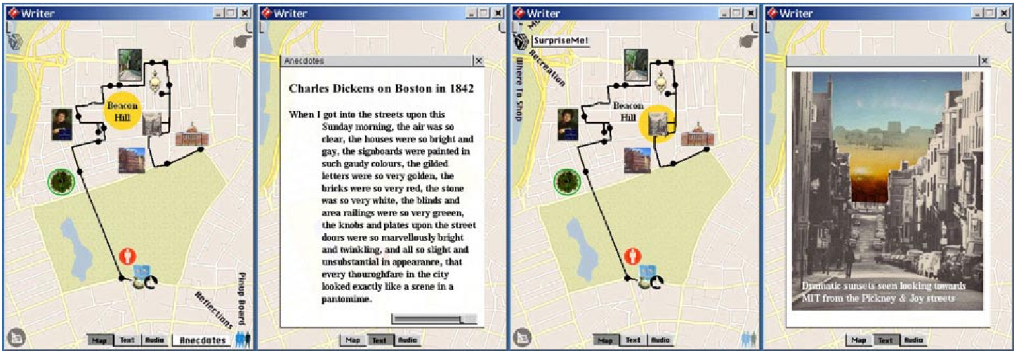 Conceptualizing the handheld interface as it filters Beacon Hill through a "Writer" lens.
Critical Analysis & Conclusion
Takeaway
Urban Pilot identifies that the most valuable "data" in a city isn't the location of a building, but the human experience associated with it. By quantifying "reputation" and "volatility," it provides a blueprint for what we now see in apps like Yelp or Foursquare, but with a deeper architectural focus on "cognitive maps."
Limitations & Future Work
Written in the early 2000s, the paper acknowledges that the necessary GPS and high-speed wireless infrastructure were not yet fully mature. Furthermore, it assumes a high level of voluntary sharing without fully addressing privacy concerns—a major hurdle in modern social networking.
Perspective
The transition from "Information Retrieval" to "Experience Creation" remains the holy grail of urban UX. Urban Pilot's use of Social Mirrors to reflect urban life is an early precursor to "Digital Twins" and "Metaverse" concepts that aim to overlay digital meaning onto physical reality.